In less than 40 hours, a tiny ripple in some clouds over the Pacific became a very strong bombing cyclone as conveyor belts of various air masses twirled off the West Coast. Here’s what it looked like on satellite.
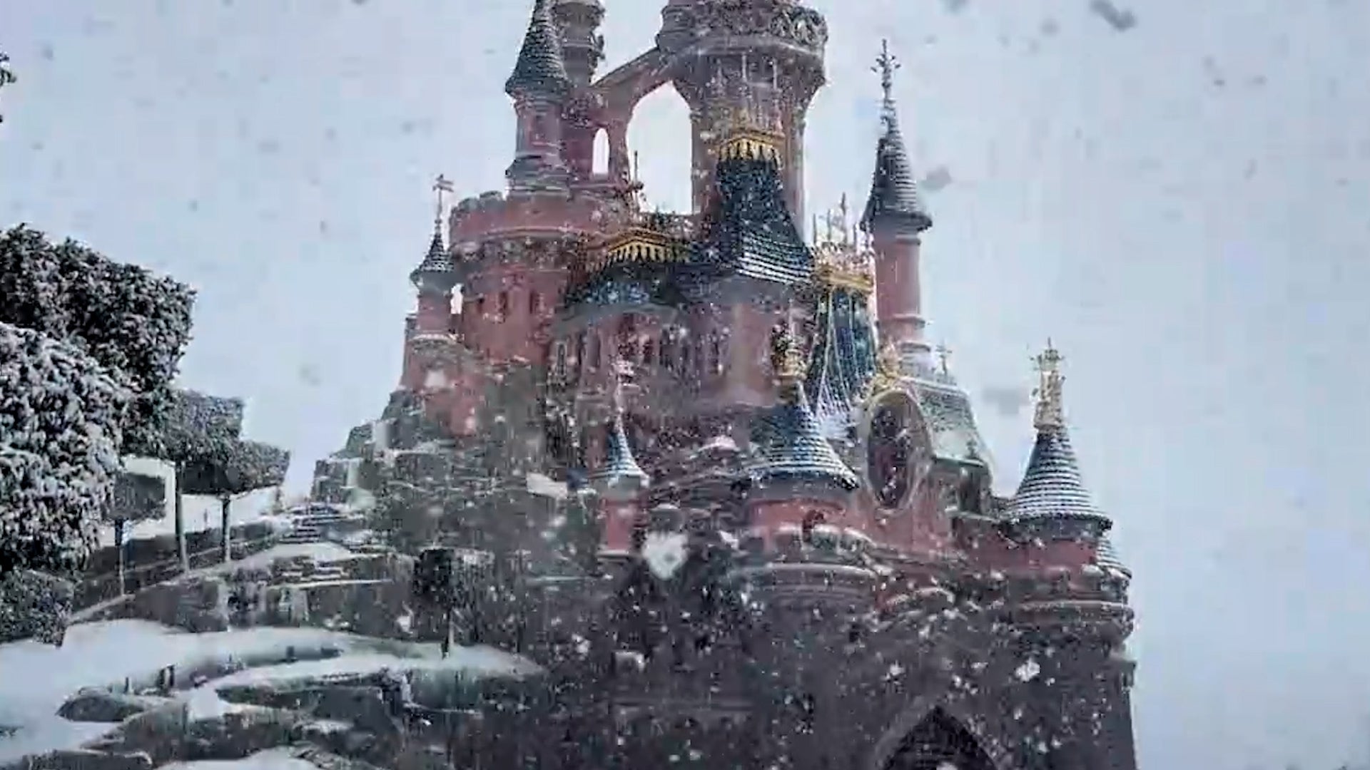
Visitors to Disneyland Paris got an early season treat as a storm ushered in early season snow. Here’s what it looked like, and how rare it is for Disney parks to get snow.
See our Privacy Policy to learn about the types of data we
collect and how we use and share it. We collect data from your browser to personalize your weather and the ads you see.